- Sections :
- Crime & Public Safety
- Restaurants & Food
- Sports
- More
Categories

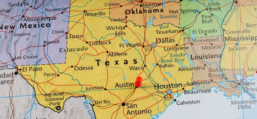
MONTGOMERY COUNTY, TX -- With current forecasts for the next seven days predicting anywhere from four to seven inches of rainfall across southeast Texas, the San Jacinto River Authority (SJRA) is implementing its standard protocols for a severe weather event, including establishing 24-hour work schedules, testing all equipment, positioning generators and fuel, and activating its reservoir operations center.
SJRA operations staff are actively coordinating with emergency operations personnel in both Montgomery and Harris counties, including the Harris County Flood Control District (HCFCD) and the Coastal Water Authority (CWA) who operates Lake Houston. SJRA will also have personnel stationed at the Harris County EOC should the Joint Operations Center activate.
Lake Conroe’s water level is currently at 200.9’ above mean sea level, which is about an inch below its normal full level of 201’. If the forecasts hold, SJRA personnel expect the lake to rise above 201’, which will trigger controlled releases to manage the temporary storage of inflows in the lake and reduce downstream flows.
FAQs Related to Lake Conroe Dam Operations
Q. What is the normal level of Lake Conroe? How high can the water get?
A. Normal lake level is 201’ MSL (mean sea level). SJRA has a flowage easement that allows the lake to rise up to six feet over normal pool level during extreme storm events to 207’ MSL. The top of the Lake Conroe dam is 212’ MSL.
Q. How does Lake Conroe affect downstream flooding?
A. Lake Conroe reduces downstream flooding by reducing the peak flow down the West Fork of the San Jacinto River. During a storm event, releases are kept at a significantly lower rate than the rate of inflows coming into the lake.
Q. Why didn’t SJRA pre-release water before the storm to make more room to catch the water coming into the lake?
A. Pre-releases can actually increase downstream flooding by artificially filling downstream tributaries and adding water to Lake Houston, filling its basin. SJRA’s downstream partners, including the City of Houston, CWA, and HCFCD have expressed their desire that SJRA not pre-fill the river and Lake Houston prior to a major storm event by pre-releasing from Lake Conroe.
Resources for monitoring Lake Conroe levels and weather incident information
• SJRA’s Contrail System at: https://sanjacinto.onerain.com/home.php for levels, releases, rainfall totals, gauges, or stream flows, see “Lake Conroe Dashboard.”
• Follow San Jacinto River Authority on line for the most up to date information www.SJRA.net @SJRA on Facebook @SJRA_1937 on Twitter
• HCFCD - Flood Warning System: https://www.harriscountyfws.org/?View=full.
• National Weather Service - Advanced Hydrological Prediction Service: http://water.weather.gov/ahps2/index.php?wfo=hgx.
One of the major river authorities in Texas, SJRA's mission is to develop, conserve, and protect the water resources of the San Jacinto River. Covering all or part of seven counties, the organization’s jurisdiction includes the entire San Jacinto River watershed, excluding Harris County. For additional information on SJRA visit our website at www.sjra.net or like SJRA on Facebook @SanJacintoRiverAuthority
Stay Aware as Potentially Bad Weather Arrives This Week
SJRA operations staff are actively coordinating with emergency operations personnel in both Montgomery and Harris counties, including the Harris County Flood Control District (HCFCD) and the Coastal Water Authority (CWA) who operates Lake Houston. SJRA will also have personnel stationed at the Harris County EOC should the Joint Operations Center activate.
Lake Conroe’s water level is currently at 200.9’ above mean sea level, which is about an inch below its normal full level of 201’. If the forecasts hold, SJRA personnel expect the lake to rise above 201’, which will trigger controlled releases to manage the temporary storage of inflows in the lake and reduce downstream flows.
FAQs Related to Lake Conroe Dam Operations
Q. What is the normal level of Lake Conroe? How high can the water get?
A. Normal lake level is 201’ MSL (mean sea level). SJRA has a flowage easement that allows the lake to rise up to six feet over normal pool level during extreme storm events to 207’ MSL. The top of the Lake Conroe dam is 212’ MSL.
Q. How does Lake Conroe affect downstream flooding?
A. Lake Conroe reduces downstream flooding by reducing the peak flow down the West Fork of the San Jacinto River. During a storm event, releases are kept at a significantly lower rate than the rate of inflows coming into the lake.
Q. Why didn’t SJRA pre-release water before the storm to make more room to catch the water coming into the lake?
A. Pre-releases can actually increase downstream flooding by artificially filling downstream tributaries and adding water to Lake Houston, filling its basin. SJRA’s downstream partners, including the City of Houston, CWA, and HCFCD have expressed their desire that SJRA not pre-fill the river and Lake Houston prior to a major storm event by pre-releasing from Lake Conroe.
Resources for monitoring Lake Conroe levels and weather incident information
• SJRA’s Contrail System at: https://sanjacinto.onerain.com/home.php for levels, releases, rainfall totals, gauges, or stream flows, see “Lake Conroe Dashboard.”
• Follow San Jacinto River Authority on line for the most up to date information www.SJRA.net @SJRA on Facebook @SJRA_1937 on Twitter
• HCFCD - Flood Warning System: https://www.harriscountyfws.org/?View=full.
• National Weather Service - Advanced Hydrological Prediction Service: http://water.weather.gov/ahps2/index.php?wfo=hgx.
One of the major river authorities in Texas, SJRA's mission is to develop, conserve, and protect the water resources of the San Jacinto River. Covering all or part of seven counties, the organization’s jurisdiction includes the entire San Jacinto River watershed, excluding Harris County. For additional information on SJRA visit our website at www.sjra.net or like SJRA on Facebook @SanJacintoRiverAuthority
Comments •

More From: (16520)
Texas Workforce Commission Reemployment Program receives national award
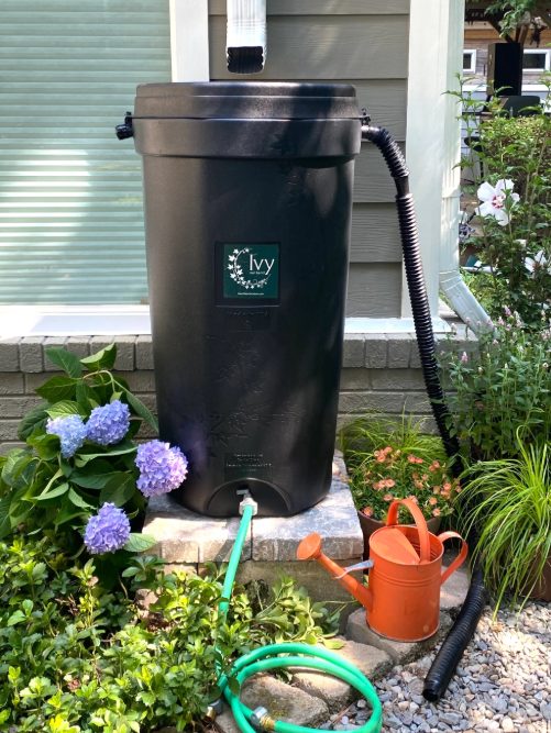
LSGCD is offering discounted rainwater harvesting kits for Rain for Tomorrow Conservation Initiative
Texas voters to decide on a combined 23 non-binding advisory questions in the March 3 primaries

Bob Harvey responds to 'false online claims,' reaffirms commitment to Precinct 2 voters

Shot Through the Heart - The Crooks to Blame. Crooks Give Love a Bad Name.

Nick’s Local Eats Celebrates 2025 Year End Awards

Texas Workforce Commission Welcomes New Executive Director Steve Pier
Conroe EDC Praises Hospitality, Generosity of Joe's Italian Restaurant's Holiday Meal Distribution

For the 70th year, NORAD will track Santa for your kiddos this Christmas Eve

Building Confidence Through Structure

Texas Pink Playbook Hosts Sold-Out Elvis Presley–Themed Event as It Emerges as One of Texas’ Fastest

A Lifetime of Accountability: Offender to Serve 75-Year Day-for-Day Sentence