- Sections :
- Crime & Public Safety
- Restaurants & Food
- Sports
- More
Categories

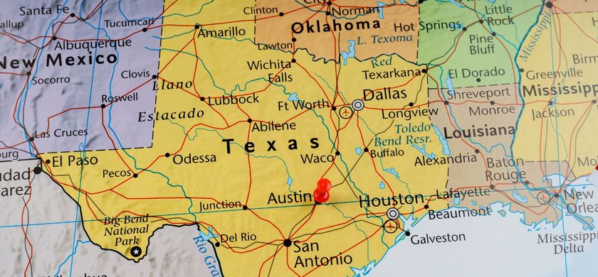
THE WOODLANDS, TX -- A cold front is expected to push through Southeast Texas tonight into tomorrow morning. This front will produce showers and thunderstorms beginning tonight and through the early afternoon tomorrow. The front is expected to move through College Station shortly after midnight, then will move down through Houston by 6am. This front is not as strong as last week's front, but max temperatures tomorrow will still only get into the low to mid 70's.
Additionally, there is a potential topical development in the southern Gulf of Mexico. The potential development is currently located over the Yucatan and is expected to enter the Bay of Campeche in the the next few days. The national Hurricane Center gives this system a 10% chance of development over the the next two days, and a 40% chance of development over the next five days. If this system does form, high pressure over the Caribbean and a low pressure system over the Southern Plains should turn the system to the northeast from the Texas coastline.
Additionally, there is a potential topical development in the southern Gulf of Mexico. The potential development is currently located over the Yucatan and is expected to enter the Bay of Campeche in the the next few days. The national Hurricane Center gives this system a 10% chance of development over the the next two days, and a 40% chance of development over the next five days. If this system does form, high pressure over the Caribbean and a low pressure system over the Southern Plains should turn the system to the northeast from the Texas coastline.
Comments •

More From: (16496)
Texas Workforce Commission Reemployment Program receives national award
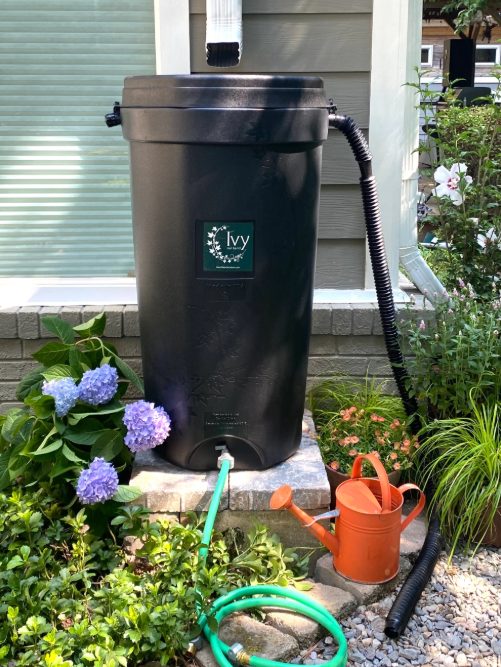
LSGCD is offering discounted rainwater harvesting kits for Rain for Tomorrow Conservation Initiative
Texas voters to decide on a combined 23 non-binding advisory questions in the March 3 primaries

Bob Harvey responds to 'false online claims,' reaffirms commitment to Precinct 2 voters

Shot Through the Heart - The Crooks to Blame. Crooks Give Love a Bad Name.

Nick’s Local Eats Celebrates 2025 Year End Awards

Texas Workforce Commission Welcomes New Executive Director Steve Pier
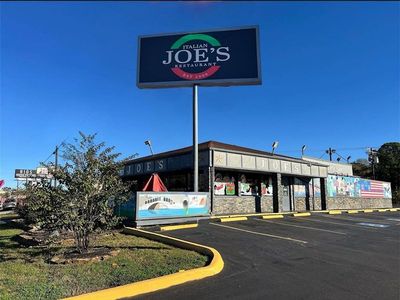
Conroe EDC Praises Hospitality, Generosity of Joe's Italian Restaurant's Holiday Meal Distribution

For the 70th year, NORAD will track Santa for your kiddos this Christmas Eve

Building Confidence Through Structure

A Lifetime of Accountability: Offender to Serve 75-Year Day-for-Day Sentence

Texas Pink Playbook Hosts Sold-Out Elvis Presley–Themed Event as It Emerges as One of Texas’ Fastest
Related News: Woodlands Area

Top Things to Do This Week in The Woodlands – March 9 - 15, 2026

Primrose Schools of the Woodlands and Spring Donate 1,100 Books to Local Literacy Organizations

Market Street Invites Artists to Participate in 2026 Spring Fine Arts Show on Saturday, May 2

Top Things to Do This Week in The Woodlands – March 2 - 8, 2026
