- Sections :
- Crime & Public Safety
- Restaurants & Food
- Sports
- More
Categories

THE WOODLANDS, Texas -- Weather forecasts continue to predict numerous showers and thunderstorms to pass over the Southeast Texas region beginning Friday mid-afternoon. It’s anticipated that the heavy rains should move out of the area Saturday morning around 9AM, with the heaviest rain forecast to fall between 3am and 8am Saturday. The National Weather Service has increased the rainfall amounts for Montgomery County to between 3 and 6 inches. Due to the slow movement of the cold front it could produce isolated rainfall amounts of 8 to 10 inches in some areas.
This episode of heavy rainfall could result in flash flooding along area roadways, underpasses and low lying areas as well as small creeks and tributaries. Significant travel impacts are possible as some roadways may become impassable. Be especially cautious driving at night when poor visibility could impede your ability to see high water on roadways. Turn Around, Don’t Drown.
Montgomery County and surrounding counties will be under a flash flood watch beginning Friday afternoon through Saturday morning.
The River Forecast Center is predicting minor to moderate river flooding on the West Fork of the San Jacinto in Humble, and on Peach Creek near Splendora. They also predict that we may see minor flooding on Caney Creek near Splendora and on Lake Creek above the Woodlands. Currently they expect that Spring Creek and the East Fork of the San Jacinto should stay just within banks. This is all very dependent on how much rain actually falls in our area and in these watersheds. As rains begin, more data on exact river and stream issues will be refined.
Comments •

More From: (16981)

Garcia Real Estate Group ranked among Top 25 Residential Real Estate Teams in Texas by RealTrends Verified

HTX Girls Academy Teams Compete on National Stage at Girls Academy Playoffs in California

TxDOT: Driver Sober is the Winning Goal This Summer

A look at legislative history related to Juneteenth

Should Woodlands Mud 1 & 6 Consolidate?

Texas Health and Human Services Commission shares nutrition and wellness resources during Third Annual Healthy Texan Week

This weekend is a sales tax holiday for disaster preparedness

Texas voters to head back to the polls on May 26 to decide primary runoff elections
Texas Workforce Commission Reemployment Program receives national award
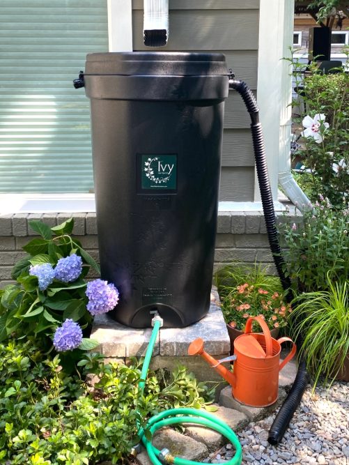
LSGCD is offering discounted rainwater harvesting kits for Rain for Tomorrow Conservation Initiative
Texas voters to decide on a combined 23 non-binding advisory questions in the March 3 primaries

Bob Harvey responds to 'false online claims,' reaffirms commitment to Precinct 2 voters