- Sections :
- Crime & Public Safety
- Restaurants & Food
- Sports
- More
Categories

MONTGOMERY COUNTY, TX -- Intense rainfall rates of 3-5 inches per hour are moving into the Kingwood, Humble, Huffman, Crosby, Atascocita, Highlands, and Mont Belvieu areas. This will result in rapid onset flash flooding in urban areas, overbank flooding, and near bankfull conditions across Northeast Harris County, Liberty County, and Southeast Montgomery County early today.
Lake Conroe is currently at 199.02 feet above mean sea level (msl), which is two feet below normal pool elevation of 201 feet. The Lake Conroe watershed has averaged just over one inch of rainfall in the past 24 hours, so all Lake Conroe dam gates remain closed and no water is being released.
San Jacinto River Authority (SJRA) continues to coordinate with numerous operational partners to include: Harris County Flood Control District (HCFCD), Harris County Office of Homeland Security, Montgomery County Office of Homeland Security and Emergency Management, and Emergency Management, National Weather Service, and the River Forecast Center.
Harris County's bayous, creeks and tributaries are continuing to respond to the runoff from heavy rainfall. Several bayous are near the top of banks, while San Jacinto and Cedar Bayou have overtopped their banks. An update on bayous and creeks that HCFCD officials are watching closely (as of 9:30 a.m.):
The following are out of banks:
• East Fork San Jacinto at FM1485
• East Fork San Jacinto at FM 2090
• Peach Creek at FM 2090
• Caney Creek at FM 2090
• Cedar Bayou at US 90
The following are nearing bankfull:
• Cedar Bayou at FM 1942
• Lake Houston at FM 1960
Residents in these areas should not travel and stay off the roadways. All other bayous and creeks are responding and remain within banks.
Widespread street flooding continues across Harris, Liberty, and Montgomery Counties.
Please check the Houston Transtar website at http://traffic.houstontranstar.org/roadclosures/#highwater for a list of street flooding locations.
Rainfall and bayou water levels can be monitored on the Harris County Regional Flood Warning System website (desktop and mobile versions) at: harriscountyfws.org. Continue to follow us on Facebook @SanJacintoRiverAuthority and Twitter @SJRA_1937 and @HCFCD for updates.
Comments •

More From: (16496)
Texas Workforce Commission Reemployment Program receives national award
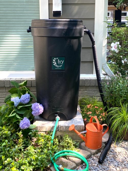
LSGCD is offering discounted rainwater harvesting kits for Rain for Tomorrow Conservation Initiative
Texas voters to decide on a combined 23 non-binding advisory questions in the March 3 primaries

Bob Harvey responds to 'false online claims,' reaffirms commitment to Precinct 2 voters

Shot Through the Heart - The Crooks to Blame. Crooks Give Love a Bad Name.

Nick’s Local Eats Celebrates 2025 Year End Awards

Texas Workforce Commission Welcomes New Executive Director Steve Pier
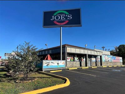
Conroe EDC Praises Hospitality, Generosity of Joe's Italian Restaurant's Holiday Meal Distribution

For the 70th year, NORAD will track Santa for your kiddos this Christmas Eve

Building Confidence Through Structure

Texas Pink Playbook Hosts Sold-Out Elvis Presley–Themed Event as It Emerges as One of Texas’ Fastest

A Lifetime of Accountability: Offender to Serve 75-Year Day-for-Day Sentence