- Categories :
- More
Locally Heavy Rain Expected
By:
![]() Woodlands Online
| Published 07/25/2025
Woodlands Online
| Published 07/25/2025
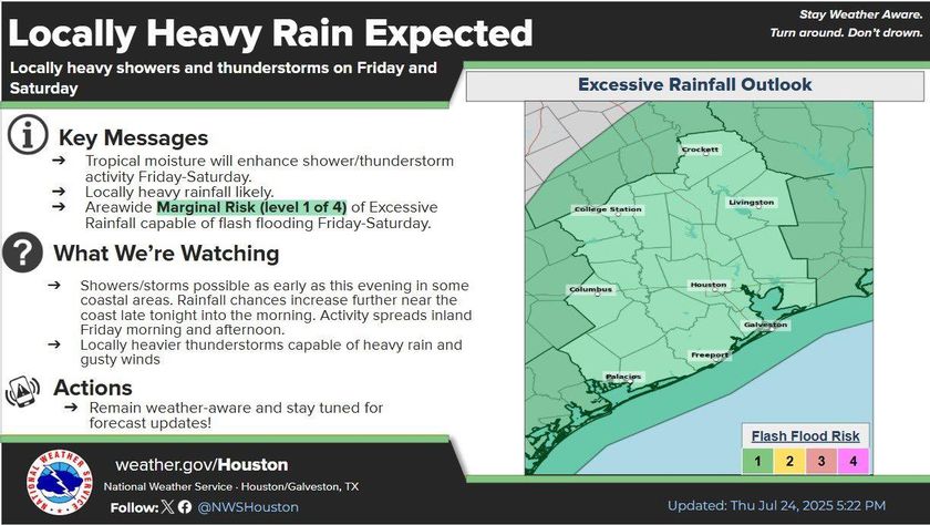
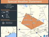
Rain is on the way as a tropical depression we have been closely monitoring nears the region. While the system is not expected to strengthen significantly, it will bring an influx of tropical moisture that may impact local weather conditions starting Friday.
Forecast Update:
As of this morning’s update, the entire county is now included in a Marginal Risk (Level 1 of 4) for Excessive Rainfall on Friday, according to the latest outlook. This means that localized flash flooding may occur, particularly in low-lying and flood-prone areas.
Key Messages:
-
Timing: Friday through Saturday
-
Weather Hazards: Increased shower and thunderstorm activity
-
Rainfall Potential: Locally heavy rainfall likely
-
Risk Level: Area-wide Marginal Risk for excessive rainfall capable of flash flooding
We will continue to monitor developments closely and issue updates as conditions warrant.
Residents are encouraged to stay weather aware, monitor local forecasts, and exercise caution in areas prone to flooding.
BY: Montgomery County Office of Homeland Security and Emergency Management